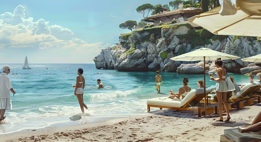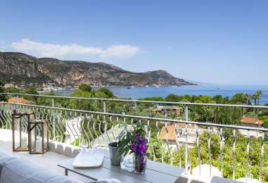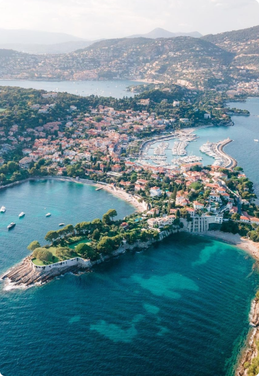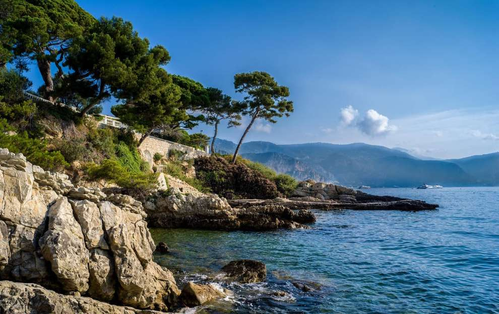
The South of France offers an extraordinary variety of landscapes, from vineyards and mountains to rocky gorges and the Mediterranean coastline. One of the best ways to discover the French Riviera is to follow the coastal paths around its famous capes.
In French geography, the word cap means headland or cape — hence familiar Riviera names such as Cap d’Antibes, Cap-Martin, Cap-d’Ail and Cap-Ferrat.
We have selected four coastal walks between Antibes and Monaco. Their distances and difficulty levels vary, but all combine Mediterranean vegetation, rocky shores and wide-open sea views.
1. Cap d’Antibes — Sentier de Tirepoil
Distance: approximately 5 km
Walking time: around 2 hours
Level: moderate
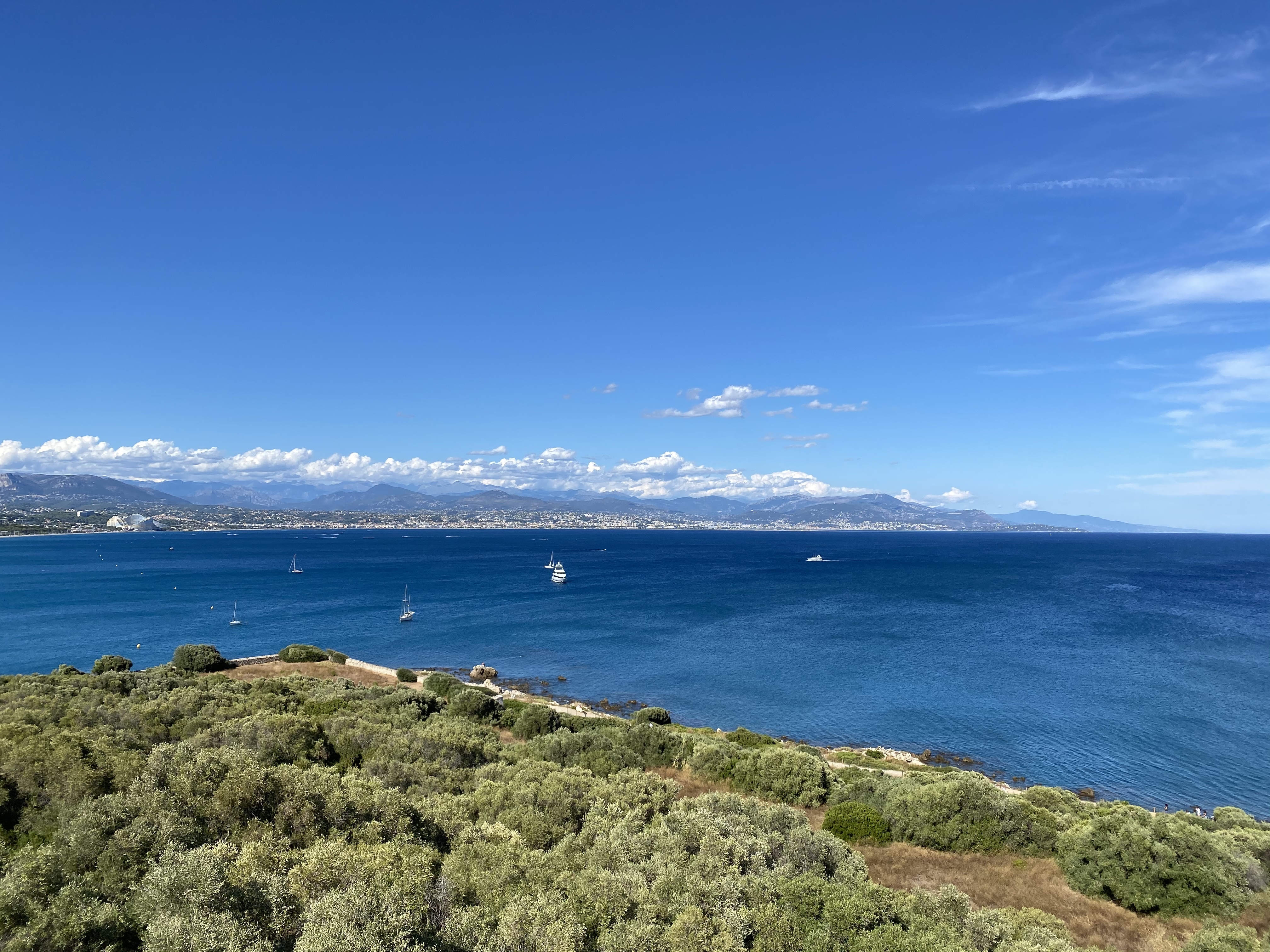 Cap d’Antibes
At the southern end of Cap d’Antibes, the Sentier de Tirepoil is one of the best-known coastal walks on the western French Riviera.
Starting near La Garoupe beach, the trail follows the shoreline through rocky sections, small coves and characteristic Mediterranean vegetation.
Steps have been installed on the steeper sections, so comfortable walking shoes are recommended. The route offers views across the Baie des Anges towards Nice as well as open Mediterranean panoramas.
This part of Cap d’Antibes forms part of a protected Natura 2000 area, making it especially important to remain on the marked trail and respect the local flora.
Please note: the path may close during bad weather, strong winds or rough seas. A section beneath Villa Eilenroc is currently closed until May 2027, so checking the latest access information before visiting is recommended.
2. Cap-Martin — Sentier Le Corbusier
Distance: approximately 2 km
Walking time: 1–1.5 hours
Level: easy to moderate
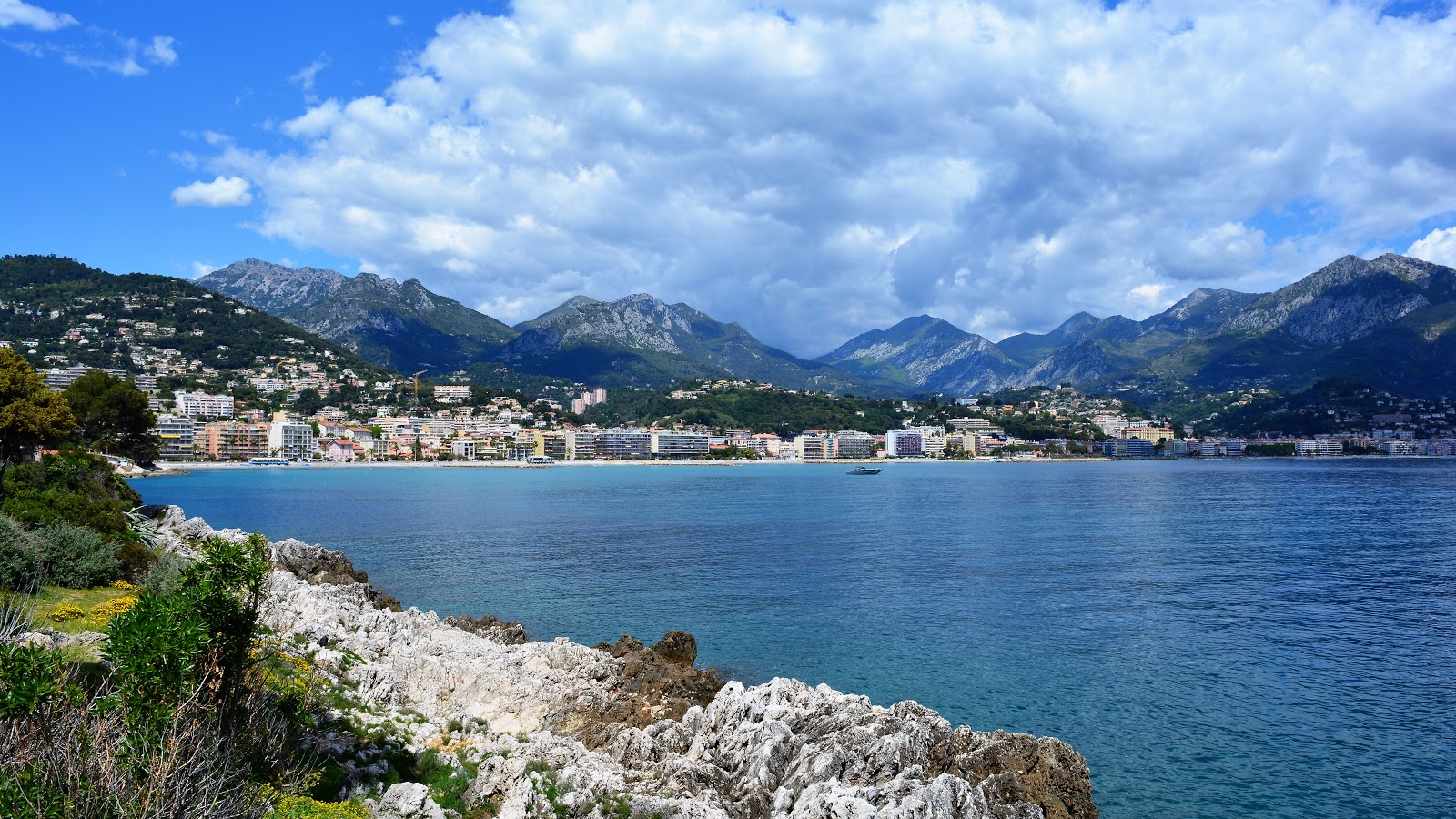 Cap-Martin
The Sentier Le Corbusier follows the coastline of Roquebrune-Cap-Martin towards Monaco, combining Mediterranean landscapes with important 20th-century architectural heritage.
The trail offers views over the sea and the Principality and passes close to the famous E-1027 villa by Eileen Gray and Le Corbusier’s modest Cabanon.
Cap-Martin itself is also known for its historic Belle Époque villas and residences, surrounded by pine trees and Mediterranean gardens.
The trail is relatively short, making it a good choice for a relaxed coastal walk that does not require an entire day.
3. Cap-d’Ail — from Plage Marquet to Plage Mala
Distance: 3.6 km
Walking time: approximately 1–1.5 hours
Level: easy
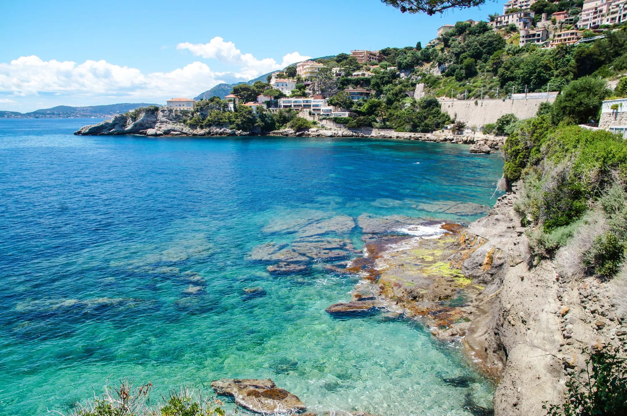 Cap-d’Ail
The Cap-d’Ail coastal path links Plage Marquet, close to the Monaco border, with the celebrated Plage Mala.
The 3.6 km trail runs between the Mediterranean, pale cliffs, coastal vegetation and historic Belle Époque villas.
Along the way, walkers pass Pointe des Douaniers, areas of Mediterranean flora and traces of an ancient quarry where millstones were once extracted.
Rest areas and several waterfront establishments can be found along the route. Part of the section from Plage Marquet towards Pointe des Douaniers is suitable for visitors with reduced mobility.
As on other coastal paths, rough seas can make certain sections unsafe or lead to temporary closures.
4. Saint-Jean-Cap-Ferrat — several walks around the peninsula
Total coastal paths: approximately 12 km
Options: from 20 minutes to 1.5 hours or more
Level: very easy to moderate
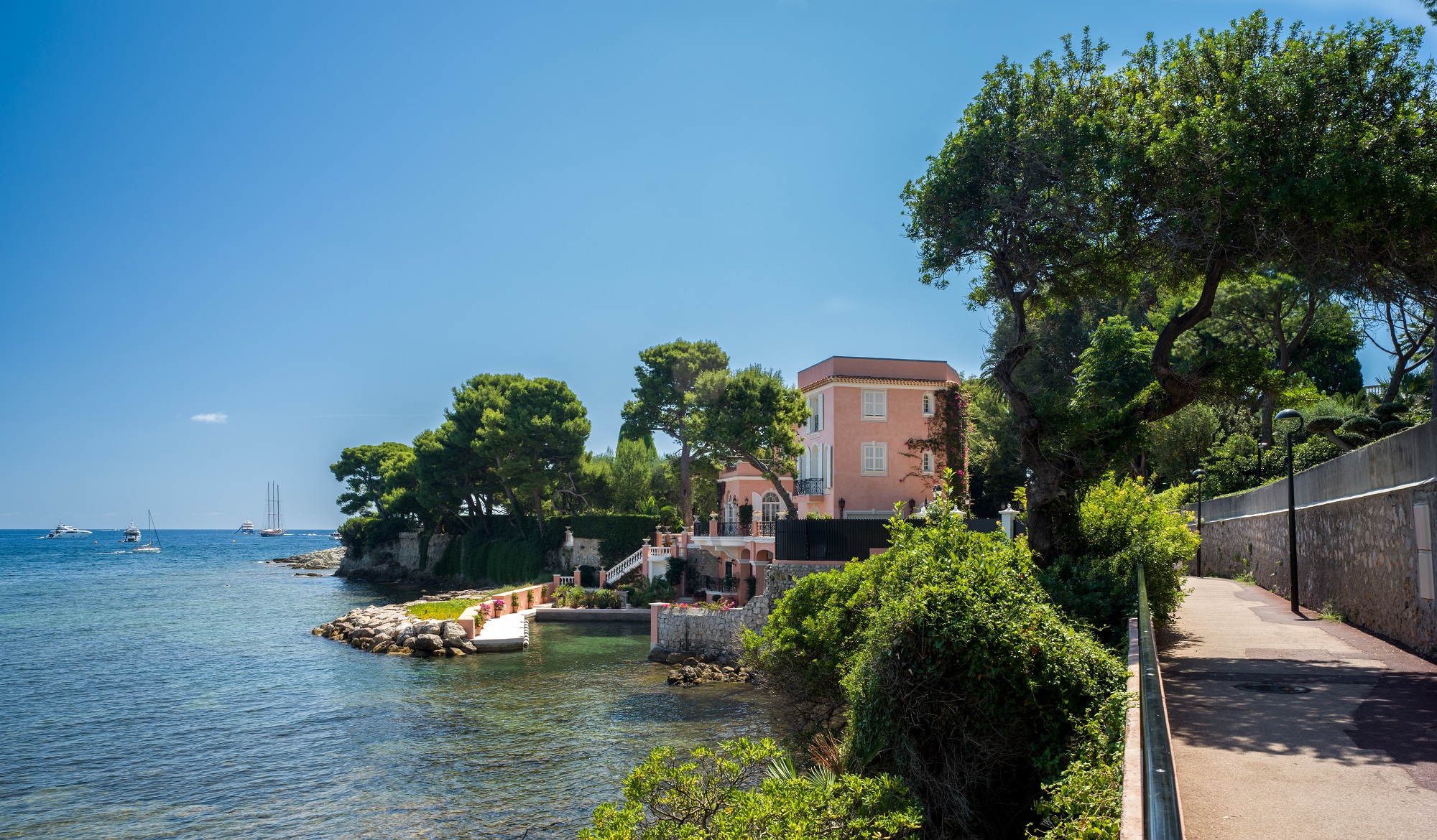 Saint-Jean-Cap-Ferrat
Saint-Jean-Cap-Ferrat offers several separate coastal walks rather than one single route. Together, its seaside paths cover approximately 12 km, making it easy to choose a walk according to available time and fitness level.
Promenade Maurice Rouvier
1.3 km one way — approximately 20 minutes.
The easiest option connects the village of Saint-Jean-Cap-Ferrat with Beaulieu-sur-Mer. The promenade is fully paved and has no stairs, making it suitable for pushchairs and visitors with reduced mobility.
Pointe Saint-Hospice
1.8 km — approximately 40 minutes, or around one hour with a visit to the chapel.
This route runs through pine trees and limestone formations around Pointe Saint-Hospice. A short detour leads to the Saint-Hospice chapel, a bronze statue of the Virgin and the small marine cemetery.
Tour du Cap-Ferrat
4.8 km — approximately 1.5 hours.
This longer trail starts at Chemin de la Carrière and follows the coastline towards the lighthouse before continuing to Plage de Passable.
It is one of the peninsula’s most natural sections, with limestone cliffs, small coves and uninterrupted Mediterranean views.
Before setting out
- Wear comfortable walking or hiking shoes.
- In summer, choose the morning or late afternoon and carry drinking water.
- After rain or during strong winds and rough seas, some paths may be temporarily closed.
- Several routes cross protected natural areas, so remain on marked paths.
- Check the latest access information with the relevant tourist office before travelling.
These four headlands offer four different perspectives on the French Riviera: the rugged coastline of Cap d’Antibes, the architectural heritage of Cap-Martin, the Belle Époque villas and coves of Cap-d’Ail, and the varied walking routes of Saint-Jean-Cap-Ferrat.